

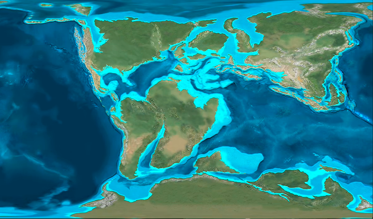
Geology professor Ron Blakey and YouTube channel SpaceRip have featured a video map illustrating how Earth could look 100 million years in the future.
The paleogeographic reconstruction combines geological research and a mathematical model to trace continental movement across 600 million years of Earth history before projecting potential future arrangements.
Producers emphasized that the visual reconstruction does not represent an exact prediction, but rather one plausible scenario resulting from ongoing tectonic plate movements.
Continental movement and ocean shifts
Plate tectonics is the fundamental geological process that continuously alters planetary geography over immense timescales. Earth's outer crust is divided into rigid tectonic plates that float and slide across the semi-fluid rock layer beneath them.
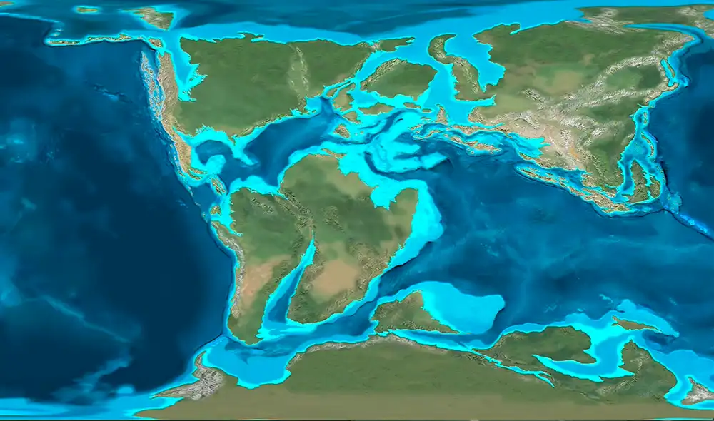
As these plates move, collide, and separate, continents shift their positions while ocean basins expand or contract. In the projected 100-million-year model, Asia and North America move closer to one another until establishing a direct land connection.
During this same period, the Pacific Ocean loses a significant portion of its surface area as surrounding landmasses converge. The movement illustrates how slow crustal shifts can dramatically transform familiar global maps over geological epochs.
Ron Blakey, an emeritus professor of geology at Northern Arizona University, has long specialized in creating detailed paleogeographic maps. His work synthesizes stratigraphy, sedimentology, and plate tectonic history to build visual representations of ancient and future Earth landscapes.
Future supercontinent models
The scenario depicted in the SpaceRip video represents one of several scientific hypotheses concerning the future layout of Earth's landmasses. Among the primary models discussed by geologists are Amasia, Novopangaea, and Pangaea Ultima.
Each model proposes a different trajectory for tectonic evolution based on current plate velocities and historical patterns. In the Amasia model, North America and Asia merge across the North Pole, while Novopangaea anticipates the closure of the Pacific Ocean as the Americas collide with Eurasia.
Pangaea Ultima, also referred to as Pangaea Proxima, suggests that the Atlantic Ocean will eventually stop expanding and begin closing, drawing Africa and Europe back into contact with the Americas.
These projections stem from the study of the supercontinent cycle, a recognized geological phenomenon in which planetary landmasses periodically merge into a single supercontinent every 300 million to 500 million years. Pangaea, which broke apart roughly 175 million years ago, was the most recent supercontinent in Earth's history.
Climate and ecosystem impact
Significant modifications to continental distribution carry far-reaching consequences for Earth's climate and environment. The formation of new mountain ranges and the relocation of large landmasses alter global atmospheric wind patterns and oceanic currents.
These shifts redistribute heat and moisture across the globe, leading to altered precipitation levels and regional temperatures. Regions that are currently temperate could become hyper-arid or polar, while new sea corridors could create tropical marine environments.
Such environmental transformations exert strong evolutionary pressure on living species. Changing habitats encourage the emergence of new ecosystems, while existing plant and animal populations must adapt to foreign conditions or face extinction.
Geological processes unfold over millions of years, operating on a temporal scale far exceeding that of modern human-driven climate change. While human activity reshapes the atmosphere over decades and centuries, continental drift continues to reconfigure the physical surface of the planet over vast geological eras.


