

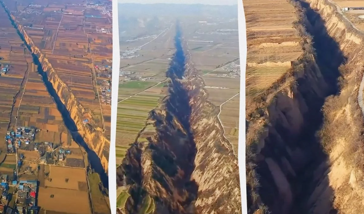
A massive geological fissure in northern China's Shanxi province is expanding by up to 1.6 millimetres every year as deep tectonic forces pull the surrounding terrain apart. The Pinglu valley, a 10-kilometre canyon with near-vertical walls, forms part of an active fault network that stretches for more than 1,200 kilometres across the country.
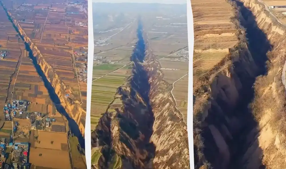
Geologists have traced the dramatic landscape to the Fen-Wei rift system, a vast tectonic fracture extending from Shanxi province down to the Wei River valley. The region is dominated by normal faults, where massive blocks of Earth's crust sink and rise relative to one another, creating steep cliffs and deep depressions in the terrain.
Crustal stretching across the North China block began during the late Miocene epoch, between 10 million and 12 million years ago. On a geological timescale, the rift system remains fully active today, with ongoing tectonic stresses continuously tearing the crust and sculpting a landscape marked by sharp ridges and extreme elevation changes.
Tectonic forces behind the expanding rift
Measurements gathered through satellite GPS technology indicate that the Pinglu valley is lengthening at an estimated rate of between 0.5 and 1.6 millimetres per year. Researchers note that the exact speed of expansion varies across different sections of the fault, reflecting a complex underlying geological mechanism.
A research study published in the journal Tectonics in 2020 concluded that the ongoing expansion is driven by several combined geodynamic factors. Chief among them is the lateral displacement of continental crust following the massive tectonic collision between the Indian plate and the Eurasian plate.
The study also pointed to pre-existing structural weakening in the lithosphere and convective circulation within Earth's mantle as major drivers of the rift. As the Indian subcontinent continues to press northward into Eurasia, tectonic stress radiates across East Asia, pushing landmasses sideways along major structural faults.
In continental geology, rifting occurs when tectonic forces pull Earth's outer crust in opposite directions, creating parallel faults that allow central land blocks to subside into rift valleys. Over millions of years, this extensional stretching can thin the lithosphere and alter regional topography over thousands of square kilometres.
Loess erosion and steep canyon walls
The physical nature of the local terrain plays a fundamental role in shaping the distinct geometry of the Pinglu valley. Shanxi province is located on China's Loess Plateau, a massive highland blanketed by thick deposits of fine, wind-blown silt that accumulated over millions of years.
Although loess soil possesses remarkable vertical stability when dry, it is extraordinarily susceptible to erosion when exposed to moving water. Once early tectonic activity created initial steps in the topography, rainfall runoff and localized slope failures rapidly excavated deep canyons with near-vertical walls.
This rapid water erosion explains the unusually abrupt landforms observed across the Pinglu valley. The soft, unstable soil along the canyon rims has also made it historically difficult to establish permanent infrastructure or agricultural settlements near the valley edge.
Seismic history of the Fen-Wei fault zone
Beyond its dramatic appearance, the Fen-Wei fault system carries a well-documented risk of major earthquake activity. The rift zone sits within one of northern China's most seismically active structural belts, where moving crustal blocks periodically release accumulated stress.
In 1556, the region experienced the historic Shaanxi-Shanxi earthquake, which claimed more than 800,000 lives in one of the deadliest natural disasters in recorded human history. The earthquake shattered communities across the loess region, causing widespread destruction along the fault line.
The catastrophic death toll of the 1556 quake was severely aggravated by the widespread collapse of yaodongs, the traditional cave dwellings excavated directly into loess hillsides. Because millions of residents lived in these earth shelters, the seismic shaking triggered massive ground failures that buried entire subterranean villages.
Scientific significance and regional tourism
In recent years, the Pinglu valley has drawn increasing attention from tourists and landscape photographers, who travel to Shanxi province to photograph its sheer drop-offs and canyon scenery.
For the scientific community, however, the expanding chasm remains critical visible evidence of an active continental rift. Geologists continue to monitor the Pinglu valley as an ongoing natural laboratory, offering key insights into how tectonic forces shape the Earth's crust over time.


