

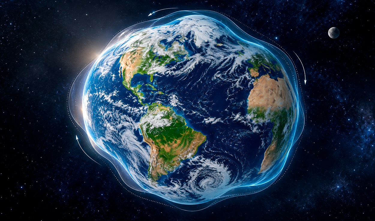
Earth's center of mass shifts by several millimeters every year due to seasonal movements of water, ice, and air pressure, according to NASA researchers. The study, published in Geophysical Journal International and led by Donald Argus of NASA's Jet Propulsion Laboratory, evaluated annual oscillations in the planet's geocenter, the gravitational center of Earth's total mass.
The findings recalibrate scientific understanding of planetary dynamics, revealing that the annual movement of Earth's center of mass is roughly half of what researchers calculated eight years ago. Donald Argus, a researcher at NASA's Jet Propulsion Laboratory who led the analysis, said scientists now calculate that the annual displacement is about half of previous estimates, demonstrating that mass transfer between the Northern and Southern Hemispheres is lower than expected.
Although these physical movements are imperceptible on the ground, measuring them is essential for modern satellite technology. Felix Landerer, a space agency expert and co-author of the analysis, explained that although these movements might seem insignificant, the modern world depends on extremely precise positioning measurements.
Geodesy, the scientific discipline focused on measuring Earth's shape, orientation in space, and gravitational field, relies on an accurate central reference point. Satellite navigation systems, including the Global Positioning System, calculate locations relative to Earth's center of mass. Even minor errors in pinpointing this axis can affect global mapping, sea-level monitoring, and orbit determination for spacecraft.
Tracking planetary mass redistribution
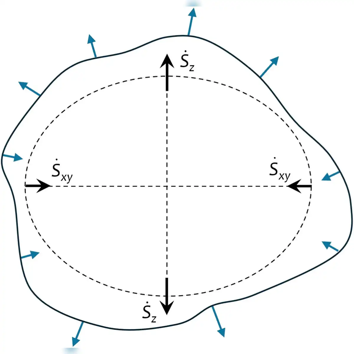
Earth does not behave as a completely rigid sphere, but undergoes continuous structural shifts. Researchers involved in the study identified two complementary physical processes: the seasonal redistribution of surface mass that moves the geocenter relative to the geometric center, and the mechanical pressure exerted directly on the continental crust. Analysis directed by Argus indicates that the seasonal variation of the geocenter shift reaches only a few millimeters.
To detect such minute physical movements, scientists relied on high-precision geodetic instruments. The study combined laser range measurements from the LAGEOS 1 and LAGEOS 2 satellites with observational data from ground-based GPS networks and spacecraft operating in low Earth orbit.
The Laser Geodynamics Satellites, designated LAGEOS 1 and LAGEOS 2, are passive research satellites covered in retroreflectors that orbit thousands of kilometers above Earth. Ground stations fire laser pulses at these satellites to track their orbits with millimeter precision, allowing scientists to monitor subtle variations in the planet's gravitational field over time.
Because orbiting satellites naturally revolve around Earth's gravitational center of mass, comparing their flight paths against fixed ground stations allowed the research team to calculate the true annual displacement of the geocenter reference point.
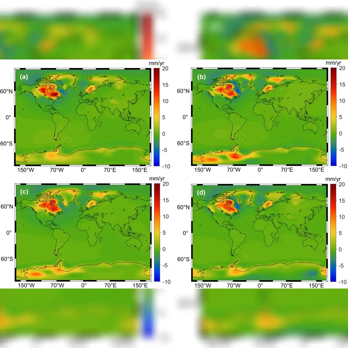
A separate 2026 study published in the Journal of Geophysical Research: Solid Earth examined how the lithosphere, Earth's rigid outer shell comprising the crust and upper mantle, responds elastically to mass redistribution. That research showed that vertical ground movements are so slight that the planet's changing shape remains completely invisible to anyone on the surface, requiring advanced geodetic techniques to document.
Seasonal water shifts drive geocenter movement
The movement of continental water serves as a primary driver shifting Earth's center of mass throughout the year. During March, snow accumulation across North America and Eurasia reaches its peak weight, shifting the planet's center of mass by approximately 3 millimeters toward the North Pole.
By April, heavy seasonal precipitation across the Amazon basin in South America stores nearly 2,400 gigatons of water. This massive concentration of rainwater creates an additional oscillation of approximately 2.2 millimeters in the direction of South America.
The Amazon basin covers over six million square kilometers in South America, holding the largest drainage system and river network in the world. During the regional wet season, enormous volumes of rainwater collect in river channels, soil, and wetlands before discharging into the Atlantic Ocean, creating a temporary mass concentration that alters the planet's gravitational balance.
Global ocean dynamics and atmospheric shifts complete the planet's seasonal oscillation. Seasonal variations in sea level redistribute immense volumes of liquid water across ocean basins, while cold winter conditions increase air density, altering atmospheric pressure patterns across the globe.
To evaluate these complex fluid shifts, the researchers analyzed data from the European Centre for Medium-Range Weather Forecasts. They validated their theoretical estimates using gravitational observations collected by the GRACE Follow-On satellite mission.
Refining terrestrial reference frames
The GRACE Follow-On mission, a joint project between NASA and German research institutions, uses twin satellites flying in formation to track monthly changes in Earth's gravity field caused by shifting water masses. The European Centre for Medium-Range Weather Forecasts, an independent intergovernmental organization, provides global atmospheric data that allows scientists to model atmospheric mass distribution.
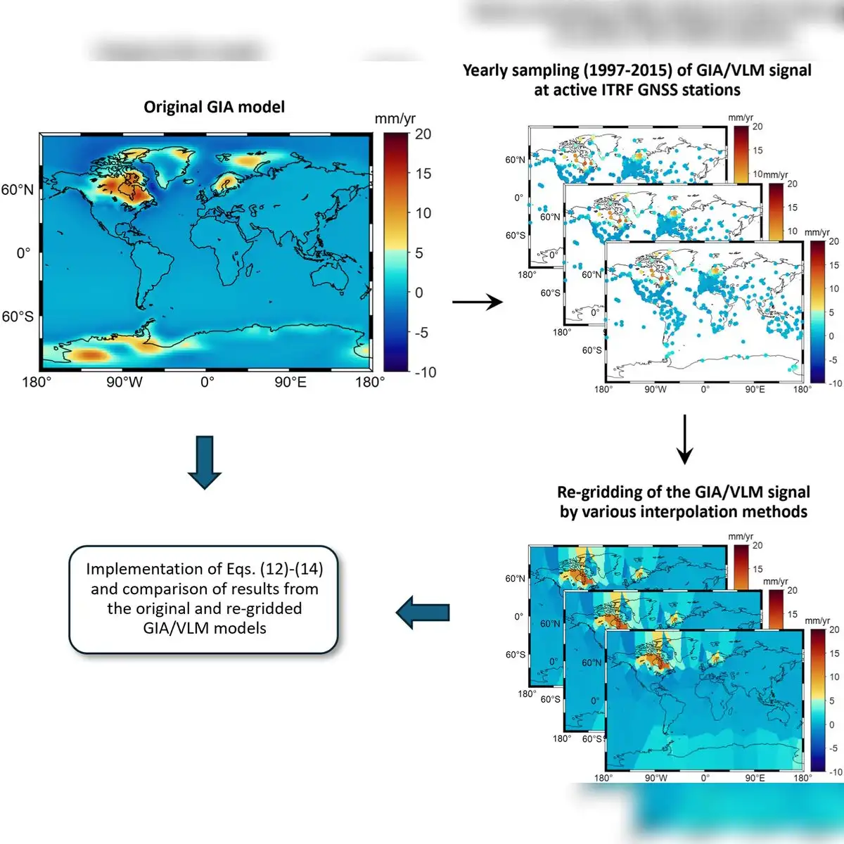
The revised findings provide a crucial baseline for refining international terrestrial reference systems used in satellite tracking. By demonstrating that mass transfer between hemispheres is less than previously estimated, the study enables scientists to improve positioning accuracy from space.
Argus noted that refining the location of this axis strengthens global mapping and satellite navigation, ensuring that international reference systems reflect the real physical dynamics of Earth's shifting mass.


